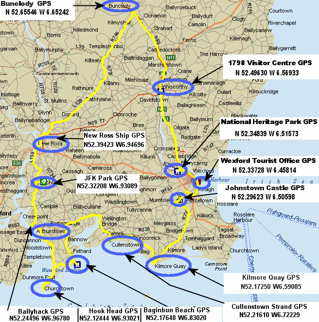
A suggested tour of County Wexford
Below is a map of a
suggested tour of County Wexford. I have started and finished in Bunclody at the top
of the map, but obviously you could start anywhere. This tour is about 200Km long. Here
are some of the places I would suggest are worth a visit. 1798 Visitor Centre in
Enniscorthy is worth a visit if you are interested in that period when Ireland, USA and
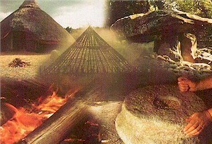
France fought for democracy. Next the National
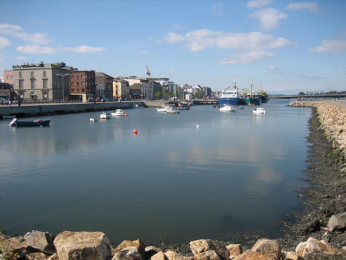
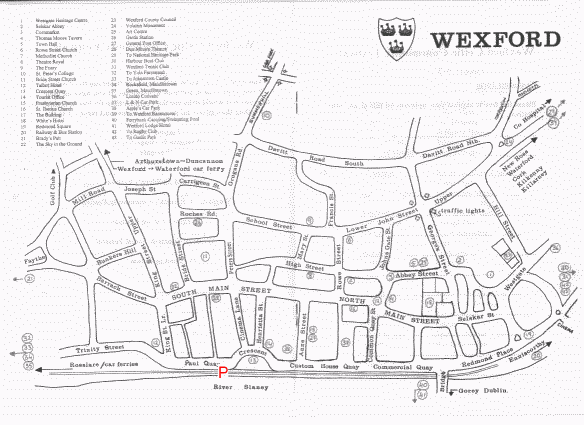
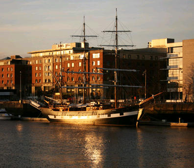
Heritage Park in Ferrycarrig. The Quays in Wexford town are well worth a visit. There is a Tourist Office
and car parks at the Southern end of the Quays just as you round the
crescent. The beautiful narrow and mostly pedestrianized Main
Street in Wexford Town is also well worth a visit, with lots of shops and restaurants.
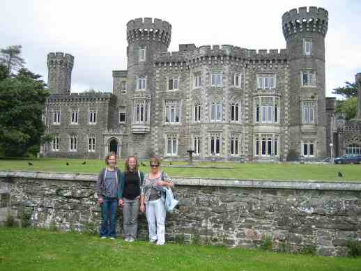
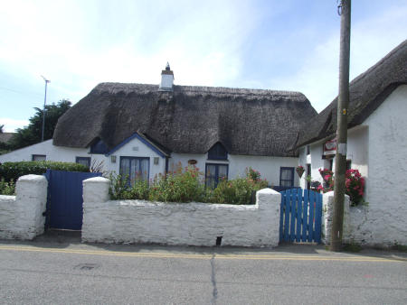
Next is Johnstown Castle and gardens. Then there is the beautiful village of Kilmore
Quay (not just Kilmore) with its thatched houses, harbour
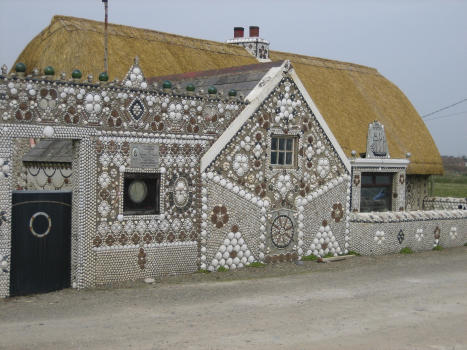
and views of the historic Saltee Islands. From there travel to the nice little village of Cullenstown with its Handball Alley on the beach and house decorated with seashells.
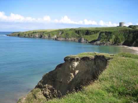
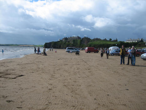
Fethard-on-Sea is next and the nearby Baginbun beach.
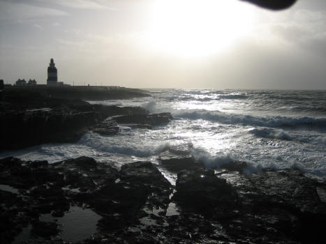
Next on this route is The Hook
Head with its very old Light House and fossilized rocks.
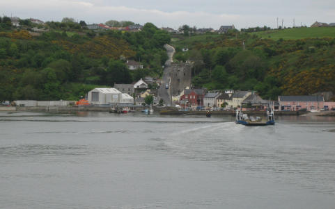
From the Hook travel through Duncannon with its
nice beach and old Military Fort. Take the Arthurstown and then Ballyhack (with
its castle) road from Duncannon for beautiful views. There is a regular car ferry
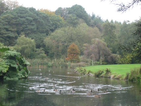
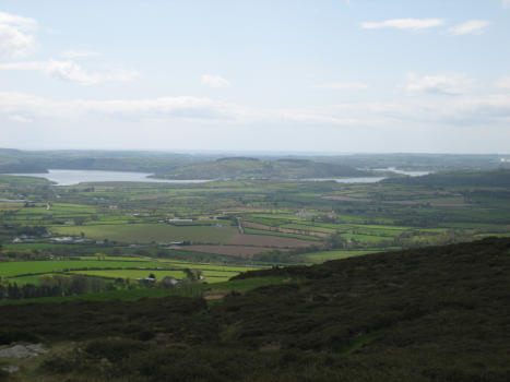
service from Ballyhack to Passage East in County Waterford. Not too far away is the JFK arboretum and short but very scenic drive to the top of Sliabh Coillte. You may be
running out of time by now, but there are beautiful walks in the arboretum and the Sliabh Coillte
drive are well worth while if you have time. Next is New Ross where
amongst lots of other things one can visit the Dunbrody replica famine ship. Then back to Bunclody with the beautiful views of
The Blackstairs mountains all the way on your left. Don't leave Bunclody without
seeing The Nine Stones, about 12 Km away.
It
will not be possible to see all of these sites in one day, but a little research will
allow you to pick the ones that most interest you.
Safe traveling.
Image of Ireland with outline of tour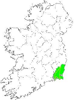
Note! that the GPS information
provided is in decimal format. Most devices can be set to display co-ordinates in this
format.
If you prefer to use a map. I would suggest The Complete Road Atlas of Ireland